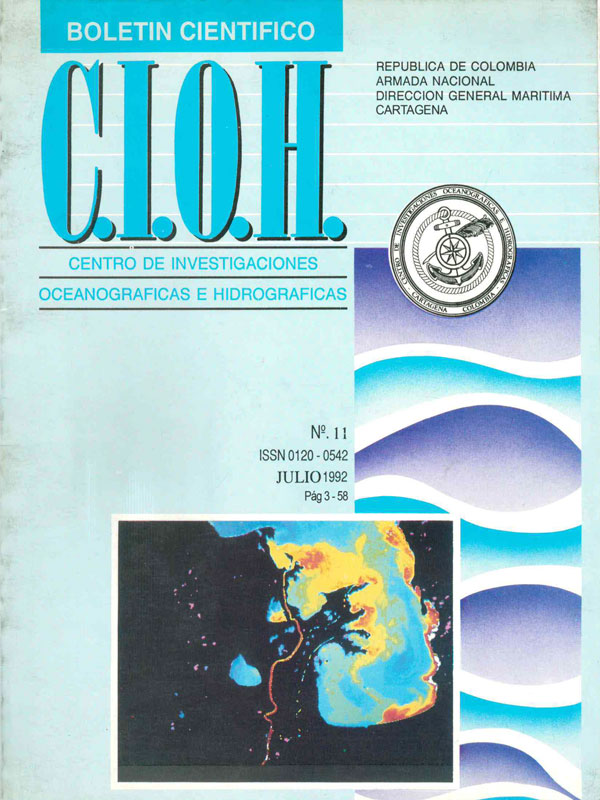
Informe final proyecto cartografía fondos submarinos Islas del Rosario (Colombia) y apreciación de sus áreas, a partir de imágenes de satélite SPOT
DOI:
https://doi.org/10.26640/22159045.43Keywords:
Colombia, Caribbean, coral reef, remote sensing, SPOTAbstract
A calibration of the SPOT satellite received signals was carried out in the Rosario Archipiélago area, using a chart for the underwater bottonms around the Caribaru lsland. By a signal classification a chart of underwaters depth have been made making a distintion of three bottoms: sand, sand and Thatassia testudínum and a Coral patch.
After comparing the field data to the results of the classification a correction was made to obtain an estimate of covered surfaces for each one of the bottoms in the Archipiélago.
Downloads
References
DELGADO E., Flechas F.A. y ALVIS G.A. 1989. Evaluación cuantitativa del estado actual de las especies coralinas del Parque National Natural Corales del Rosario (PNNCR), Cartagena (Colombia). Tesis de Grado, Universidad Jorge Tadeo Lozano, Bogotá.
MONSALVEC. B. y RESTREPO J.D. 1989. Aproximación a la fotointerpretación y cartografía de ecosistemas arrecifales. lsla Caribarú. Tesis de grado, Universidad Jorge Tadeo Lozano, Medellín.
Downloads
Published
Issue
Section
License
Attribution — You must give appropriate credit, provide a link to the license, and indicate if changes were made. You may do so in any reasonable manner, but not in any way that suggests the licensor endorses you or your use.
NonCommercial — You may not use the material for commercial purposes.
NoDerivatives — If you remix, transform, or build upon the material, you may not distribute the modified material.
No additional restrictions — You may not apply legal terms or technological measures that legally restrict others from doing anything the license permits.


