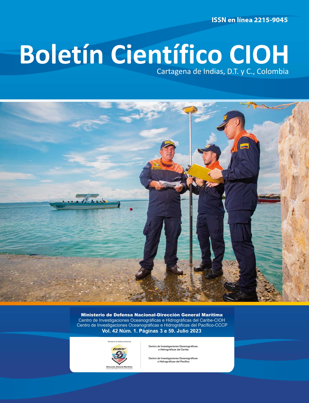
Mapping the seabed of the Colombian Caribbean: Proposal for a cartographic scheme of the underwater geomorphology of Colombia (South and Central Section of the continental margin)
DOI:
https://doi.org/10.26640/22159045.2023.605Keywords:
Submarine geomorphology, Caribbean, continental margin, Sinú, Magdalena fan, bathymetryAbstract
This paper shows the progress made in relation to the project to carry out submarine geomorphological and structural mapping of Colombian maritime territory, which started with the design of a cartographic grid divided into 22 charts at a scale of 1:250 000. This paper presents the first two charts developed between the years 2020-2021. These charts were prepared with the use of bathymetric information, 2D seismic data, magnetic and gravimetric anomalies, and satellite data, all integrated in Geographic Information Systems (GIS). As a result, the geomorphological units that characterize the southern and central part of the continental margin of the Colombian Caribbean were published in two thematic charts numbered 1408 and 1409, as established in the cartographic grid designed for this purpose.
Downloads
References
Micallef, A., Krastel, S., & Savini, A. (Eds.). (2017). Submarine geomorphology. Springer. https://doi.org/10.1016/B978-0-12-409548-9.09249-6
Carvajal Perico, J. H. (Ed.). (2012). Propuesta de estandarización de la cartografía geomorfológica en Colombia. Libros del Servicio Geológico Colombiano. https://doi.org/10.32685/9789589952825
Recuperado a partir de https://libros.sgc.gov.co/index.php/editorial/catalog/book/52
Cediel F., R. Shaw y C. Cáceres. 2003. Tectonic assembly of the northern Andean Block, 815-848. En: Bartolini C., R. Buffler y J. Blickwede (Eds.). The circum-gulf of Mexico and Caribbean: Hydrocarbon habitats, basin formation and plate tectonics, AAPG Memoir 79 https://doi.org/10.1306/M79877C37 [Link]
Gómez, J. & Montes, N.E., compiladores. 2020. Mapa Geológico de Colombia en Relieve 2020. Escala 1:1 000 000. Servicio Geológico Colombiano, 2 hojas. Bogotá [Link]
Idárraga-García, J., Masson, D. G., García, J., León, H., & Vargas, C. A. (2019). Architecture and development of the Magdalena Submarine Fan (southwestern Caribbean). Marine Geology, 414, 18-33. https://doi.org/10.1016/j.margeo.2019.05.005
Ministerio de Defensa, Dirección General Marítima. 2021, Esquema de Cartografía Náutica Nacional, Cuarta actualización. Páginas 89. Bogotá. [Link]
Cediel F., R. Shaw y C. Cáceres. 2003. Tectonic assembly of the northern Andean Block, 815-848. En: Bartolini C., R. Buffler y J. Blickwede (Eds.). The circum-gulf of Mexico and Caribbean: Hydrocarbon habitats, basin formation and plate tectonics, AAPG Memoir 79 https://doi.org/10.1306/M79877C37 [Link]
Rangel-Buitrago, N., Idárraga-García, J., & INVEMAR. (2010). Geología general, morfología submarina y facies sedimentarias en el margen continental y los fondos oceánicos del mar Caribe colombiano. INVEMAR (Eds.), Biodiversidad del Margen Continental del Caribe colombiano, 29-51.[Link]
Veloza, G., Styron, R., Taylor, M., & Mora, A. (2012). Open-source archive of active faults for northwest South America. Gsa Today, 22(10), 4-10. https://doi.org/10.1130/GSAT-G156A.1.
Vinnels, J. S., Butler, R. W., McCaffrey, W. D., & Paton, D. A. (2010). Depositional processes across the Sinú accretionary prism, offshore Colombia. Marine and Petroleum Geology, 27(4), 794-809. https://doi.org/10.1016/j.marpetgeo.2009.12.008
Olaya, V. (2014). Sistemas de información geográfica. Un libro libre de Víctor Olaya. [Link]
Downloads
Published
Issue
Section
License
Copyright (c) 2023 CIOH Scientific Bulletin

This work is licensed under a Creative Commons Attribution-NonCommercial-NoDerivatives 4.0 International License.
Attribution — You must give appropriate credit, provide a link to the license, and indicate if changes were made. You may do so in any reasonable manner, but not in any way that suggests the licensor endorses you or your use.
NonCommercial — You may not use the material for commercial purposes.
NoDerivatives — If you remix, transform, or build upon the material, you may not distribute the modified material.
No additional restrictions — You may not apply legal terms or technological measures that legally restrict others from doing anything the license permits.


