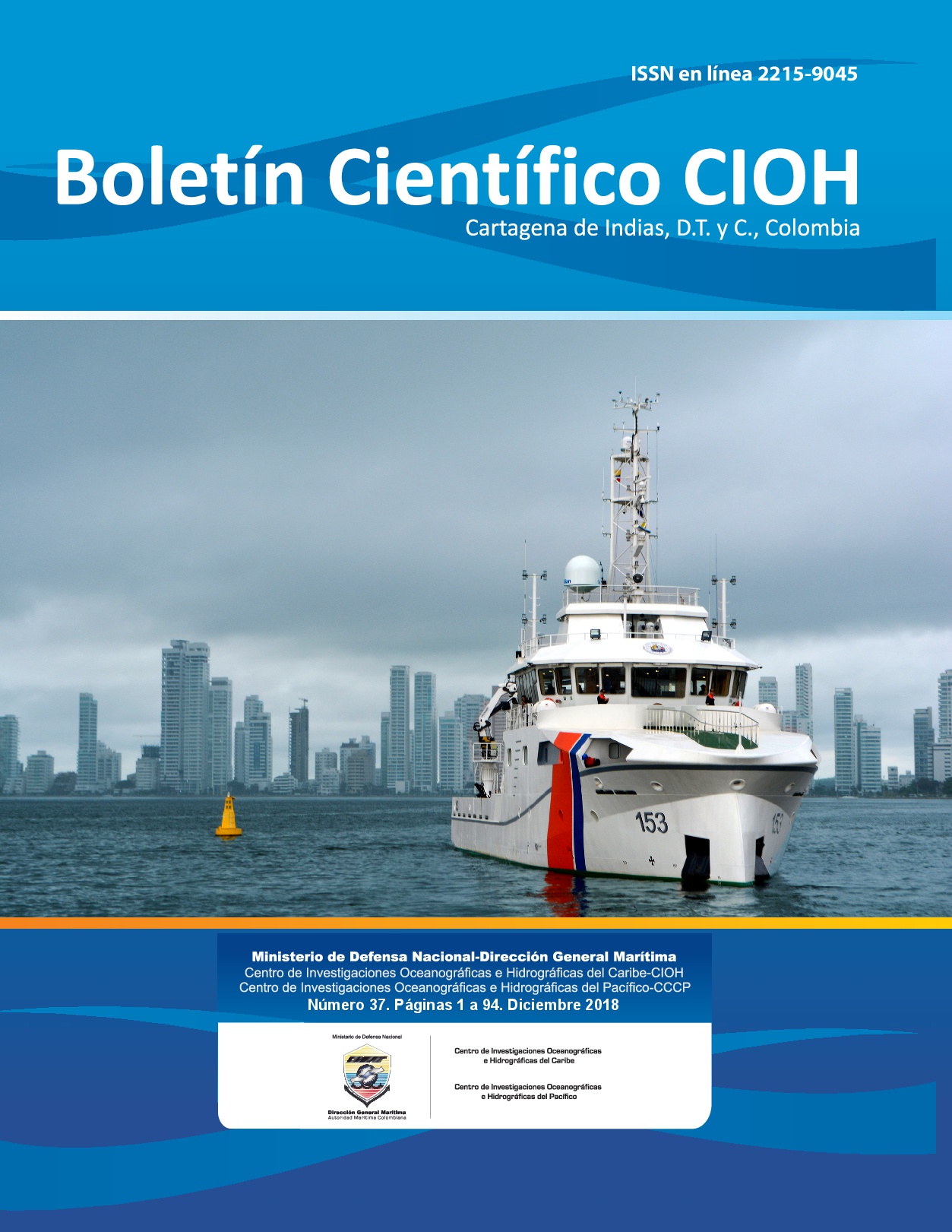
Determination of the maximum flood heights using numerical modeling in Bahía Solano, Chocó
DOI:
https://doi.org/10.26640/22159045.2018.447Keywords:
Bahía Solano, Colombian Pacific, maximum flooding level, spectral analysis.Abstract
The middle and extreme regime of sea level in Bahia Solano, on the coast of the department of Chocó, was determined, showing an average maximum flooding level of 3.9997 m. The results are one of the main inputs for construction of the Highest Tide Line (HTL) for the above region. For the elaboration of the regimes the following assumptions were made: (i) the sea level at a given time is represented by the sum of the tide (astronomical component) and the residual tide (meteorological component), (ii) The astronomical component is considered a deterministic variable, while the tidal residue is considered as a random variable, following an approximately normal distribution, (iv) both components were treated as statistically independent variables. Considering the above, analysis for each components were carried out in the study area using analysis tools, harmonic analysis numerical modeling and indirect methods based on Montecarlo techniques and applied according to the deterministic and stochastic behavior presented by each variable.Downloads
Downloads
Published
Issue
Section
License
Attribution — You must give appropriate credit, provide a link to the license, and indicate if changes were made. You may do so in any reasonable manner, but not in any way that suggests the licensor endorses you or your use.
NonCommercial — You may not use the material for commercial purposes.
NoDerivatives — If you remix, transform, or build upon the material, you may not distribute the modified material.
No additional restrictions — You may not apply legal terms or technological measures that legally restrict others from doing anything the license permits.


