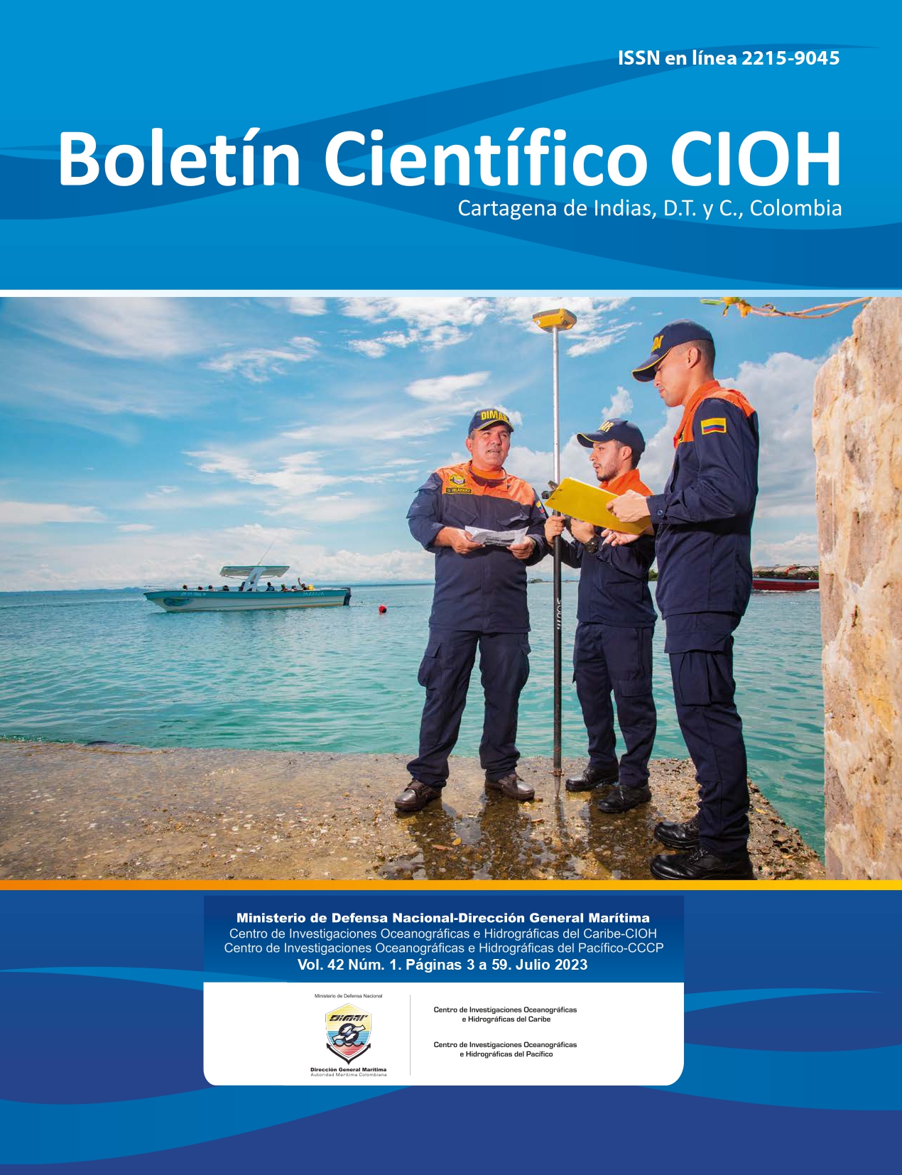
Study of the sedimentation and erosion rates of the La Barra sector of the San Andrés de Tumaco navigable channel, Nariño
DOI:
https://doi.org/10.26640/22159045.2023.611Keywords:
Bathimetry, erosion, sedimentation, navigation channel, TIN, morphological changes, sediment transport, TumacoAbstract
Monitoring the evolution of the seafloor in navigable channels ensures safe navigation. In this research, sedimentation and erosion rates were estimated using multibeam bathymetric data in the navigable channel of San Andrés de Tumaco, Nariño, Colombia, specifically in the sector known as "La Barra," for different periods between 2019 and 2021. Additionally, the coastline was traced for the years 2019, 2020, and 2021 to identify coastal dynamics at the estuary mouths closest to the study area and their relationship as sediment sources. Lastly, precipitation data were analyzed to establish its correlation as a forcing variable for sediment transport and continental sediment input into Tumaco Bay. As a result of these analyses, the highest accumulated sedimentation volume in the La Barra sector was 188 881 m3 and the highest erosion volume was 150 245 m3, both of which were observed in the longest observed period. Additionally, the average sedimentation rate was calculated as 24 409 m3/month, excluding the longest period. The spatiotemporal analysis of the coastline revealed sectors with accretion, retreat, or which are stable or constant, with accretion processes predominating due to continental sediment accumulation. Furthermore, the relationship between precipitation and the accumulated sedimentation volume in La Barra sector is represented by the equation S = 56.591P + 15 529, and for the accumulated erosion volume, E = 48.749P – 5 263.6. Based on the estimation of sedimentation/erosion rates, coastal dynamics, and their correlation with precipitation as an influential variable in sediment transport, which generates morphological changes in the seafloor, decision-making authorities can propose adjustments in sediment removal processes in the La Barra sector to ensure safe navigation in the access channel to Colombia's second most important Pacific port.
Downloads
Downloads
Published
Issue
Section
License
Copyright (c) 2023 CIOH Scientific Bulletin

This work is licensed under a Creative Commons Attribution-NonCommercial-NoDerivatives 4.0 International License.
Attribution — You must give appropriate credit, provide a link to the license, and indicate if changes were made. You may do so in any reasonable manner, but not in any way that suggests the licensor endorses you or your use.
NonCommercial — You may not use the material for commercial purposes.
NoDerivatives — If you remix, transform, or build upon the material, you may not distribute the modified material.
No additional restrictions — You may not apply legal terms or technological measures that legally restrict others from doing anything the license permits.


