La percepción remota aplicada para determinar la circulación de las aguas superficiales del Golfo de Urabá y las variaciones de su línea de costa
DOI:
https://doi.org/10.26640/22159045.45Keywords:
Colombia, Caribbean, Urabá (golf), surface water circulation, SPOTAbstract
This work is a results of project "Hydrologic and Geologic study of the Urabá Gulf" corried out jointly with the Technical French Mission from 1988, which hada two year duration.
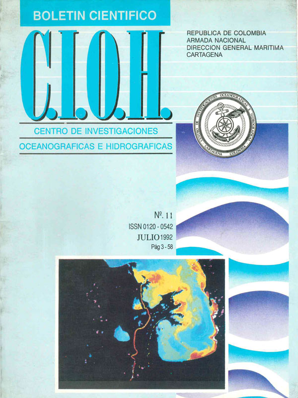
At the CIOH, trough the Centre Nationale de Recherche Scientifique(CNRS) ANIM program the proccessing of a SPOT lmage took place; this image was received on an area during the mean stage (February/89) in arder to determine the surface water circulation in the Gulf during such time using a turbidity feather (distribution of material in suspension) of rivers flowing there (Atrato, León, Turbo, etc).
At the Bordeaux University (1991) a treatment of this image with the Pericolor program was done for visualing the Gulf shore contour and the incidence of the wave fronts on the Bocatarena surroundings of Atrato river, in arder to analize about the latter the. energy deposition and concentration of waves around this section of the coast.
The coastal morpholigical changes (eros ion -sedimentation) ocurred within this area during the last recent years were obtained starting from comparisons of shore fines from nautical charts of 1938 and 1983 and from SPOT lmage coastal contour of 1989.
Also, it was possible to determine the sea bottom mareations through bathymetric comparisons of the above mentioned charts.
The Gulf surface water circulation shows two directions: N.S. towards the west sector which determines the East -west direction with a tending towards the south of turbidity feather in front of the river A trato flowing; influenced by the action of trade winds during the age (mean) of the year; and N.Son. the Gulf west zone where the turbidity feather are affected towards the north and are loaded with plenty of material in suspension.
The loss of large extensions of shore, the formation of litoral drifts and the development of deltas have determined important morphological changes on the Gulf shore line in the recent years.
Contrary to the shore fine where erosion is predominant over sedimentation the Gulf bottom presents a great sediment acumulation towards its own east and central part specifically at Bahía Colombia.
Downloads
References
CHEVILLOT P. 1989. Estudio Geológico e hidrológico del Golfo de Uraba (CIOH).
l.G.A.C. 1983. Atlas Regional del Pacífico 96 Pags.
FROIDEFOND, J.M.; Gallissaires, J.M. and Prudhomme, R., 1990. SPATIAL VARIATION IN SINUOSIDAL WAVE ENERGY ON ACRESCENTIC NEARSHORE BAR APPLICATION TO THE CAP-FERRET COUST FRANCE JOURNAL OF COASTAL RESEARCH.
SIONNEAU Jean. NOTAS DE CLASE - PROCEDIMIENTO DE IMAGENES CON EL PERLCOLOR. Instituto Geográfico "Agustín Codazzi"
Downloads
Published
Issue
Section
License
Attribution — You must give appropriate credit, provide a link to the license, and indicate if changes were made. You may do so in any reasonable manner, but not in any way that suggests the licensor endorses you or your use.
NonCommercial — You may not use the material for commercial purposes.
NoDerivatives — If you remix, transform, or build upon the material, you may not distribute the modified material.
No additional restrictions — You may not apply legal terms or technological measures that legally restrict others from doing anything the license permits.


